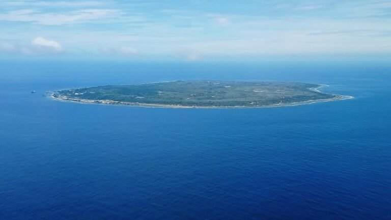
Look at a classroom globe and international borders appear neat, permanent, and universally agreed upon. On the ground, dozens of regions are claimed simultaneously by two, three, or even six governments.
Some of these territorial disputes are frozen conflicts patrolled by United Nations peacekeepers, while others sit at the center of active wars or naval standoffs between nuclear-armed powers. Here are ten of the world’s most contested territories.
1. Kashmir (India, Pakistan, and China)
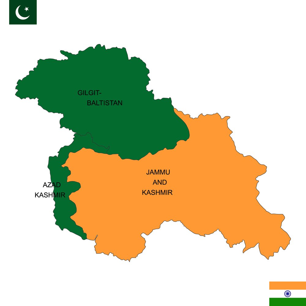
Ever since the partition of British India in 1947, the Himalayan region of Jammu and Kashmir has been the most heavily militarized flashpoint in South Asia.
Today the territory is divided among three nuclear-armed neighbors: India administers roughly 55 percent of the land (Jammu, the Kashmir Valley, and Ladakh), Pakistan controls about 30 percent (Azad Kashmir and Gilgit-Baltistan), and China holds the remaining 15 percent in the high-altitude Aksai Chin plateau after the 1962 Sino-Indian War. India and Pakistan have fought multiple wars over the region, and skirmishes along the high-mountain Line of Control remain a constant risk.
2. Jerusalem (Israel and Palestine)
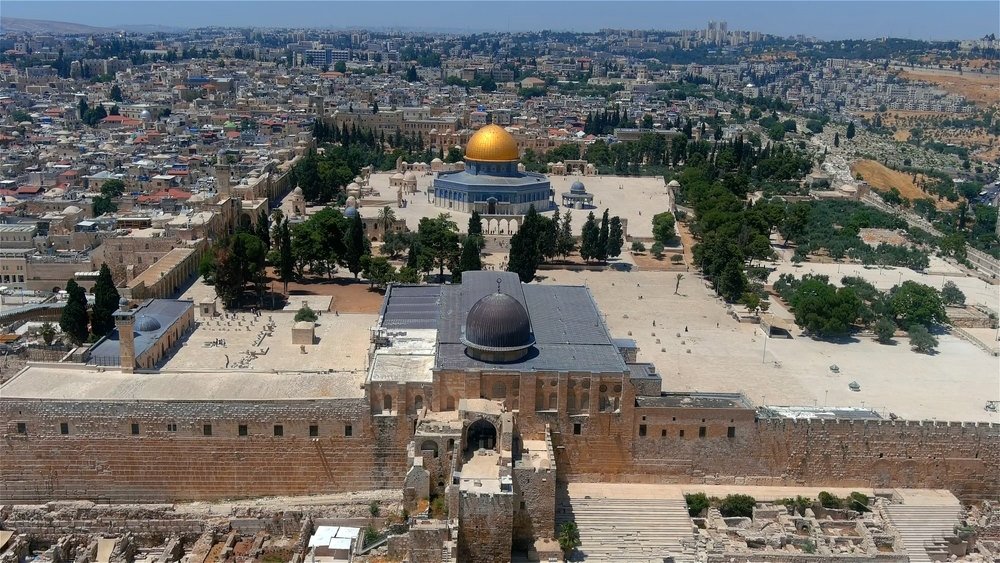
Sacred to Jews, Christians, and Muslims alike, Jerusalem sits at the core of the Israeli-Palestinian conflict. Following the 1948 war, the city was divided between Israeli-controlled West Jerusalem and Jordanian-controlled East Jerusalem, which includes the walled Old City, the Western Wall, the Church of the Holy Sepulchre, and the Al-Aqsa Mosque compound (Temple Mount).
Israel captured East Jerusalem in the 1967 Six-Day War and declared the entire city its undivided capital, while Palestinians claim East Jerusalem as the capital of a future independent state. Because most countries consider the status of the city a matter for final peace negotiations, the vast majority of foreign embassies remain in Tel Aviv, though the United States moved its embassy to Jerusalem in 2018.
3. The South China Sea (China, Vietnam, Philippines, Malaysia, Brunei, and Taiwan)
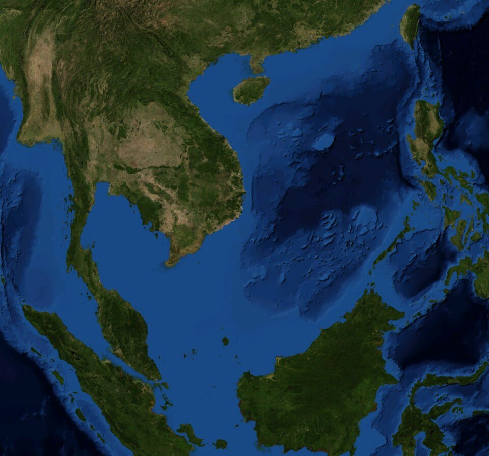
Roughly a third of all global maritime shipping passes through the South China Sea, which also holds rich fishing grounds and estimated subsea reserves of 11 billion barrels of oil and 190 trillion cubic feet of natural gas. China claims almost the entire sea within its sweeping nine-dash line, dredging sand onto reefs in the Spratly and Paracel archipelagos to build military airstrips and radar bases.
Those claims overlap directly with the Exclusive Economic Zones of Vietnam, the Philippines, Malaysia, and Brunei. In 2016, an international tribunal in The Hague ruled that those sweeping historical claims had no legal basis under the UN Convention on the Law of the Sea, a verdict Beijing continues to reject.
4. Taiwan (People’s Republic of China and Republic of China)
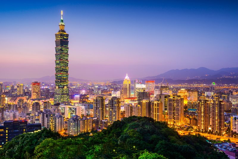
When Mao Zedong’s Communist forces won the Chinese Civil War on the mainland in 1949, Chiang Kai-shek’s Nationalist government (the Republic of China) retreated across the strait to the island of Taiwan. Today, Taiwan is a vibrant self-governing democracy of 23.5 million people with its own passport, currency, and military, yet Beijing insists the island is a breakaway province that must eventually be brought under mainland control.
5. Senkaku / Diaoyu Islands (Japan, China, and Taiwan)
Located in the East China Sea northeast of Taiwan, this group of five uninhabited islets and three barren rocks (called the Senkaku Islands in Japan and the Diaoyu Islands in China) is administered by Japan but claimed by both Beijing and Taipei. After the Japanese government purchased three of the islands from their private Japanese owners in 2012, coast guard vessels and military aircraft from both sides began shadowing each other around the surrounding gas-rich waters on a near-daily basis.
6. Crimea (Ukraine and Russia)
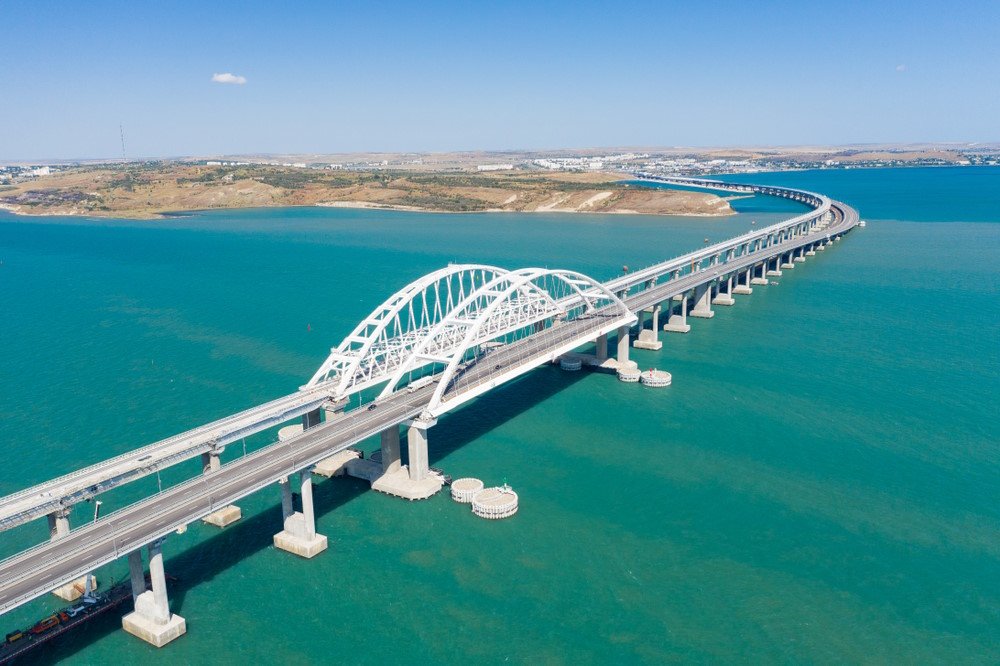
Jutting into the northern Black Sea, the Crimean Peninsula was transferred from the Russian Soviet republic to the Ukrainian Soviet republic in 1954 and remained an autonomous republic within independent Ukraine after 1991. In February and March 2014, Russian troops seized control of the peninsula and Moscow annexed Crimea following a disputed referendum, an annexation rejected by Ukraine and the United Nations General Assembly.
7. Western Sahara (Morocco and the Polisario Front)
After Spain withdrew from its phosphate-rich desert colony of Spanish Sahara in 1975, Morocco marched south to claim the territory while the indigenous Sahrawi independence movement, the Polisario Front (backed by Algeria), proclaimed the Sahrawi Arab Democratic Republic. Today, Morocco administers roughly 80 percent of Western Sahara west of a 2,700-kilometer fortified sand berm, while the United Nations still lists the territory as Africa’s last non-self-governing territory awaiting a long-stalled referendum.
8. The Golan Heights (Israel and Syria)
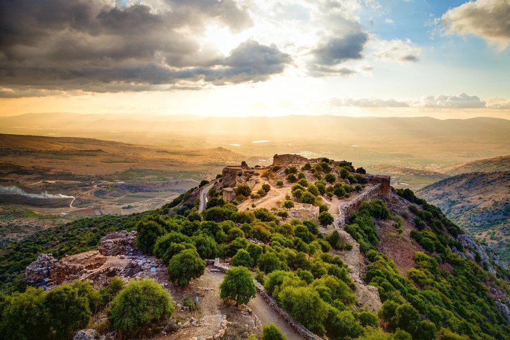
Rising above the Sea of Galilee and overlooking both northern Israel and the plains toward Damascus, the rocky basalt plateau of the Golan Heights was captured by Israel from Syria during the 1967 Six-Day War. Israel extended Israeli law to the plateau in 1981, and while the United States recognized Israeli sovereignty over the Golan in 2019, the United Nations Security Council continues to regard it as occupied Syrian territory.
9. Transnistria (Moldova and Breakaway Authorities)
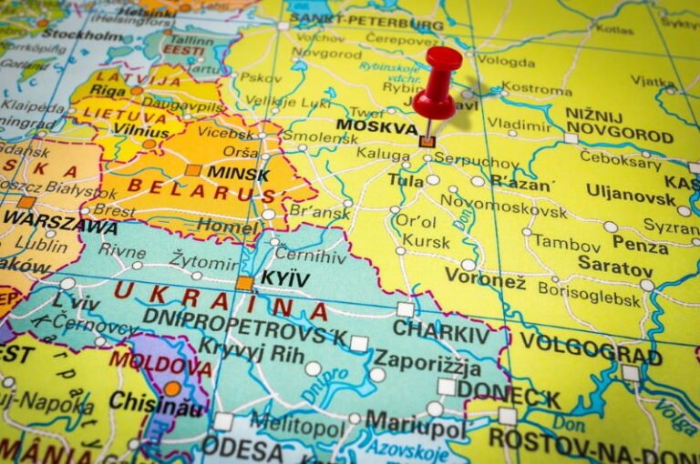
Wedged between the Dniester River and the Ukrainian border, Transnistria is a narrow strip of land that fought a brief war against Moldova as the Soviet Union collapsed in 1990 to 1992. Although no United Nations member state recognizes the self-proclaimed Pridnestrovian Moldavian Republic, the breakaway authorities in Tiraspol print their own currency, keep Soviet hammer-and-sickle symbols on their flag, and host a contingent of around 1,500 Russian soldiers.
10. Abyei (Sudan and South Sudan)
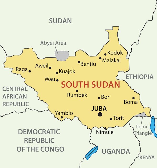
When South Sudan split from Sudan in 2011, the fertile, oil-producing border district of Abyei was supposed to hold its own separate referendum on whether to join the north or the south.
Because Khartoum and Juba could never agree on whether nomadic Arab Misseriya cattle herders who migrate through the area seasonally should be allowed to vote alongside permanent Ngok Dinka residents, the vote was postponed indefinitely, leaving a United Nations peacekeeping force to patrol the contested border zone.