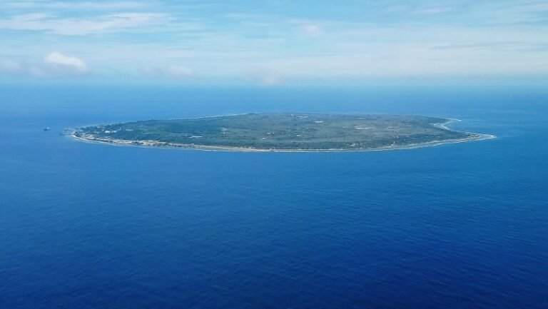
The Equator circles our globe along a 40,075-kilometer circumference, dividing planet Earth precisely into northern and southern hemispheres. While approximately eighty percent of this imaginary line traverses open ocean waters, it cuts directly across the landmass of eleven sovereign nations.
Geographical surveys documented by National Geographic illustrate how the zero parallel shapes distinct tropical rainforest microclimates. Furthermore, planetary climate models hosted by NASA Earth Observatory explain why constant solar radiation drives intense trade winds along this central belt. From the volcanic peaks of South America to the lush archipelago of Southeast Asia, these are the eleven nations where the Equator runs across dry ground.
1. Ecuador
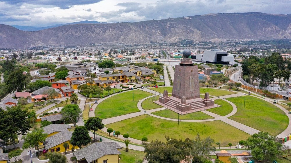
Ecuador literally takes its national name from the line itself, as the Spanish word for Equator is Ecuador. Just north of Quito stands the famous Mitad del Mundo monument, celebrating eighteenth-century French geodesic survey expeditions.
Modern satellite GPS technology shows that the precise zero-latitude coordinate lies a short distance from the historical stone tower. In addition to mainland territory, the Equator traverses the northern tip of Isabela Island in the Galápagos archipelago.
2. Colombia
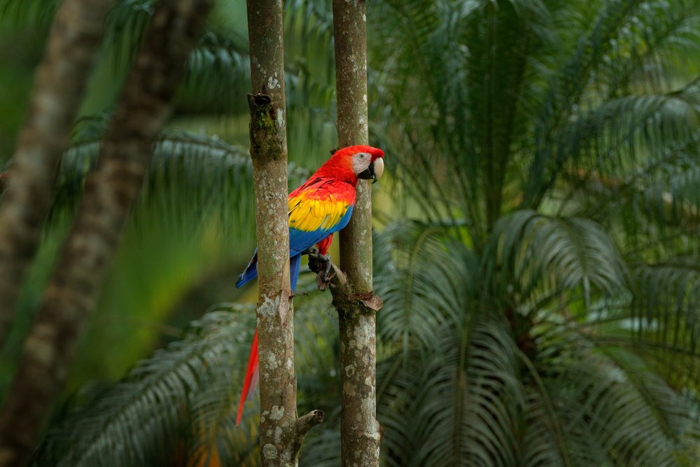
In Colombia, the line passes through the pristine rainforests of the southern Amazon basin. It cuts across departments including Amazonas, Caquetá, and Putumayo.
Because the region is heavily forested and largely protected within national parks, the equatorial line here remains an undisturbed natural sanctuary teeming with wildlife.
3. Brazil
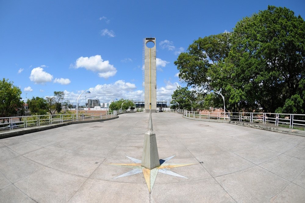
Brazil encompasses the longest stretch of equatorial land in the Americas. The line traverses remote regions of Amazonas, Roraima, and Pará before reaching the mouth of the Amazon River in Amapá.
In the state capital of Macapá, the Marco Zero monument marks the precise crossing. The local football stadium, the Zerão, is designed so that the midfield line aligns directly with the Equator, allowing teams to defend opposing planetary hemispheres during a single match.
4. São Tomé and Príncipe
This island nation in the Gulf of Guinea touches the Equator on Ilhéu das Rolas, a picturesque volcanic islet lying directly off the southern tip of São Tomé Island.
A charming mosaic marker set atop the island’s coastal headland indicates the zero parallel. Visitors can step across the marked boundary while enjoying sweeping vistas across tropical waters.
5. Gabon
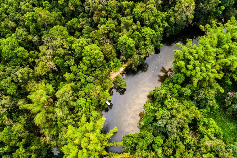
Gabon serves as the Atlantic entry gate for the Equator on the African mainland. The line cuts through several national parks characterized by dense equatorial rainforests.
Thanks to pioneering conservation initiatives, Gabon protects massive tracts of old-growth jungle where forest elephants and gorillas roam directly beneath the equatorial sun.
6. Republic of the Congo
Passing eastward from Gabon, the Equator enters the Republic of the Congo, crossing directly north of Makoua. A dedicated roadside monument marks the spot where the national highway intersects the zero parallel.
The territory consists predominantly of flooded river forests and expansive swamp terrain, forming an integral part of the broader Congo Basin biosphere.
7. Democratic Republic of the Congo
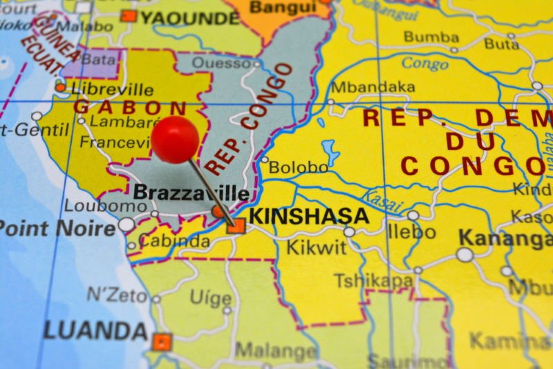
The Democratic Republic of the Congo covers a massive equatorial corridor. Major regional cities such as Mbandaka lie directly along the line where the Congo River snakes through thick rainforest.
This immense geographic basin experiences continuous heavy precipitation, sustaining the second-largest tropical rainforest system on the planet.
8. Uganda
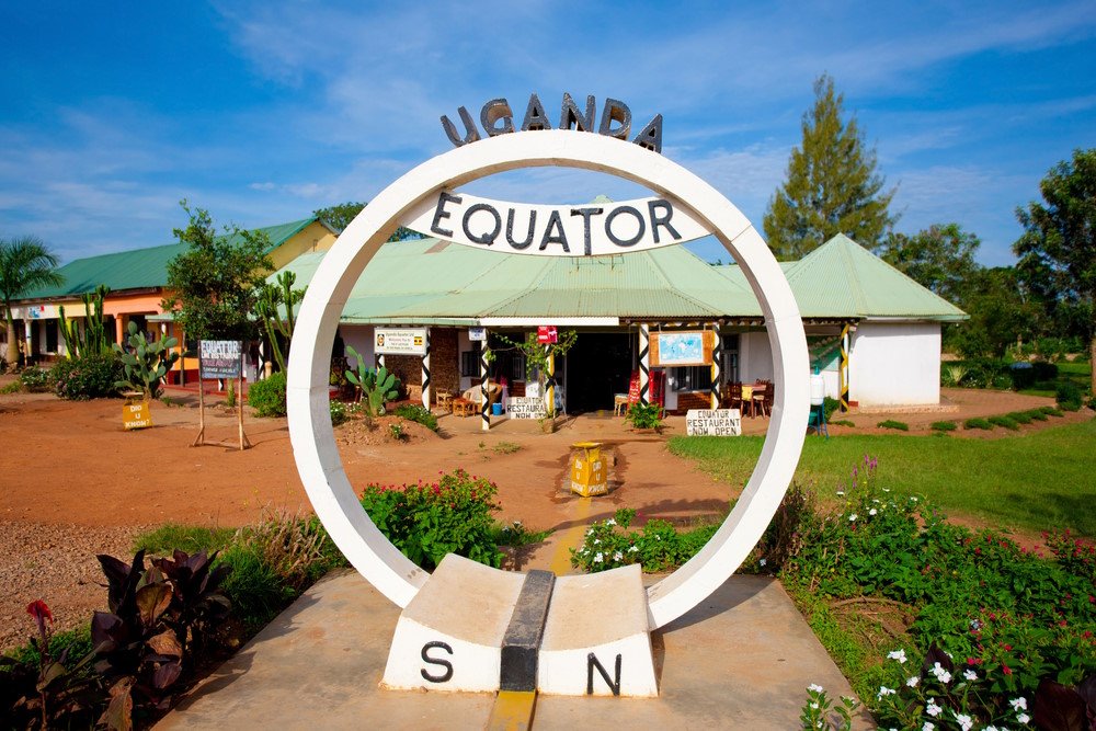
In Uganda, the Equator intersects prominent highways near Kayabwe, where large circular monuments offer popular photo stops for travelers moving between Kampala and national parks in the west.
The line also crosses the pristine open waters of Lake Victoria. Despite its tropical position, Uganda’s elevated plateau provides pleasant temperatures throughout much of the year.
9. Kenya
Kenya is one of the most accessible destinations to experience the Equator. Towns like Nanyuki feature vibrant markers and scientific demonstrations highlighting local Coriolis effects.
Nearby Mount Kenya towers directly over the zero parallel. Its snow-dusted volcanic peaks create an extraordinary geographic contrast, showcasing permanent alpine glaciers virtually on top of the Equator.
10. Somalia
Exiting the lush eastern African highlands, the Equator cuts across southern Somalia before plunging into the Indian Ocean south of the port city of Kismayo.
Unlike the rain-soaked jungles of Central Africa, Somalia’s equatorial landscape consists largely of semi-arid scrublands and dry savannas influenced by seasonal monsoon wind systems.
11. Indonesia
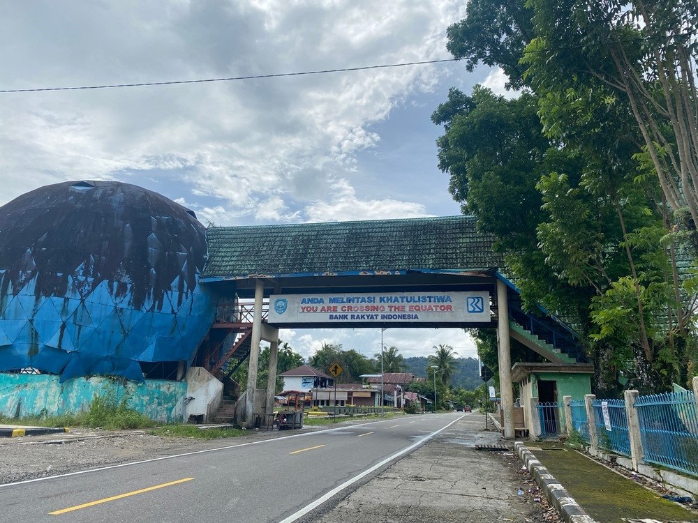
Indonesia spans the longest terrestrial and maritime equatorial arc in the world. The line traverses major landmasses including Sumatra, Kalimantan (Borneo), Sulawesi, and numerous islands within the Maluku archipelago.
In West Sumatra, the town of Bonjol features a landmark equator globe, while Pontianak in West Kalimantan is widely recognized as the Equator City. Indonesia’s position along the zero parallel blesses the archipelago with extraordinary biodiversity and rich coral reef ecosystems.
Why Equatorial Guinea Is Missing from the List
Despite its evocative name, the sovereign territory of Equatorial Guinea is not crossed by the Equator. The country’s mainland territory of Río Muni lies just north of the line, while its southernmost volcanic island, Annobón, rests south of it.
The line passes between these territories through maritime boundaries without touching land. The state took its historic name from its proximity to the parallel, not because the boundary intersects its soil.